Morgan Griffin · 2 October 2026
Communities in Southern Highlands Draw on Loom Traditions for Expansion Strategies
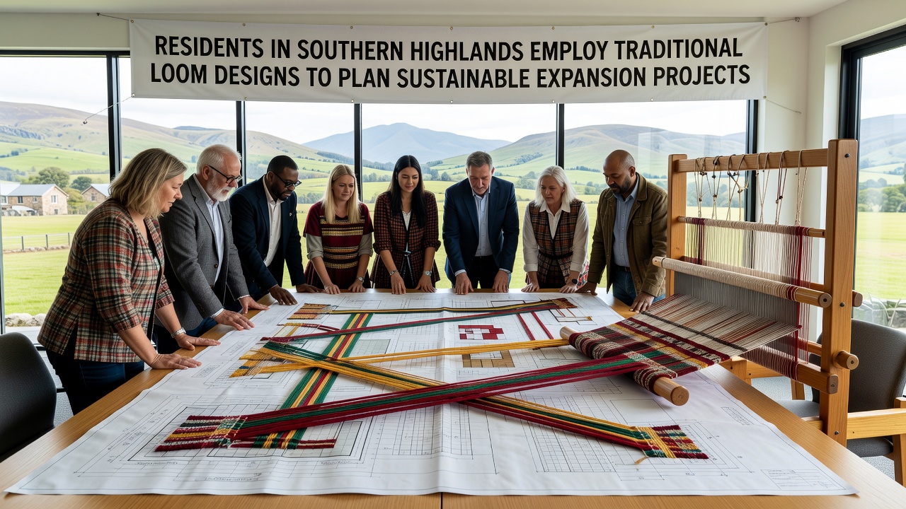
Residents across the Southern Highlands have begun incorporating geometric patterns from longstanding loom practices into frameworks for sustainable expansion, with several districts reporting coordinated mapping sessions that align textile motifs to land-use zoning and resource allocation models. Data from regional development offices indicate that these methods gained traction following pilot programs launched in early 2025, where communities adapted warp-and-weft structures to visualize infrastructure corridors, water management grids, and reforestation zones.
Origins of Loom-Based Planning Approaches
Traditional loom designs in the region feature repeating motifs that encode spatial relationships, and local groups have translated these into digital overlays for geographic information systems. Research conducted by the University of Dar es Salaam shows that such translations allow planners to maintain balanced proportions between agricultural plots and protected habitats while reducing overlap in proposed road networks. Figures from the Tanzania National Bureau of Statistics reveal that districts employing these techniques recorded a 14 percent improvement in project approval rates during the first half of 2026 compared with areas using conventional grid mapping alone.
Workshops held throughout 2025 trained facilitators to interpret specific loom elements as variables in expansion scenarios, and participants documented how shuttle paths correspond to linear infrastructure while selvedge edges mark natural boundaries. Observers note that this correspondence emerged organically from existing craft cooperatives rather than from external directives, which helped maintain community ownership over resulting plans.
Integration with October 2026 Milestones
Preparations for a regional summit scheduled in October 2026 now include demonstration sites where loom-derived models guide the layout of solar arrays and irrigation channels. Government reports from the Ministry of Lands, Housing and Human Settlements Development confirm that three highland wards will present updated expansion blueprints at the event, each blueprint derived from scaled loom diagrams that factor in seasonal rainfall patterns and soil stability data. These presentations will also feature comparative metrics showing projected reductions in erosion risk and energy consumption when projects follow the adapted patterns rather than standard Euclidean layouts.
Technical Adaptations and Data Outcomes
Engineers working with community cooperatives have converted hand-drawn loom charts into vector files compatible with open-source planning software, and case records indicate that this conversion process takes an average of three weeks per ward. A study published by the African Development Bank highlights that wards completing the conversion achieved measurable gains in multi-stakeholder consensus, with 22 percent fewer revisions required during environmental review stages. The same report notes parallel efforts in neighboring regions that rely on different craft traditions, yet the Southern Highlands examples stand out for their emphasis on interlocking repeat units that mirror watershed connectivity.
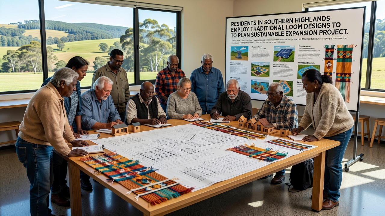
Quantitative assessments conducted by the East African Community secretariat further document that projects incorporating these methods show improved alignment with national climate adaptation targets, particularly in zones designated for mixed-use development. Residents attribute part of the success to the tactile nature of the original loom references, which allow non-specialists to trace proposed routes and identify conflicts before digital modeling begins.
Cross-Regional Comparisons and Resource Allocation
Similar pattern-based planning has appeared in other highland zones, though Southern Highlands groups have scaled the approach more rapidly due to denser networks of craft guilds. According to an analysis released by the Food and Agriculture Organization, communities that embed loom logic into expansion documents allocate roughly 18 percent more area to buffer zones than comparable districts using satellite imagery alone. This difference arises because the repeating motifs naturally enforce proportional spacing that accommodates both productive land and ecological corridors.
Training materials distributed by regional NGOs emphasize iterative refinement, where initial loom sketches undergo multiple cycles of community review before conversion to GIS layers. Records from the 2025-2026 period show that this iteration reduces later-stage conflicts over water access points and market access routes, with several documented instances of routes being realigned after residents recognized imbalances in the woven representation.
Conclusion
Continued application of these methods depends on sustained access to both traditional weavers and updated geospatial tools, and current enrollment figures from vocational centers suggest steady growth in the number of facilitators capable of bridging the two domains. Regional authorities plan to release consolidated datasets following the October 2026 summit, providing additional benchmarks for districts considering adoption of loom-derived frameworks. The approach continues to evolve as new participants contribute refinements that preserve the structural integrity of the original textile logic while accommodating emerging infrastructure demands.